
Navigation for Survival Kits
Building Navigation Capability for Your Survival Kit
Part 13 of 22 - The Lone Wolf Survival Kit System
Introduction
Knowing where you are and how to reach where you need to go becomes increasingly important when normal routes, familiar landmarks, road access, or electronic services are disrupted. A survival situation may require you to get home, leave an area, reach a safer location, change routes around an obstacle, or continue traveling through unfamiliar terrain.
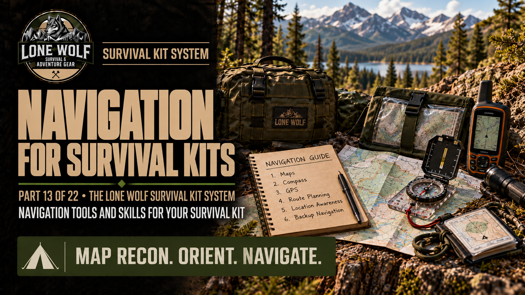
Effective navigation combines knowledge and skills with the information and tools available to you. Maps provide a broader view of the surrounding area and possible routes. A compass helps establish and maintain direction. Terrain features and landmarks help you understand your position as you travel. GPS devices and smartphones provide additional location and route information, while offline maps and backup power help maintain electronic navigation when cellular service or normal charging options are unavailable.
The navigation capability built into a survival kit should reflect where the kit may be used, the distances you may need to travel, the environment, likely routes and alternate routes, and the people who may rely on it. The equipment also needs to be supported by the skills required to determine your location, plan a route, follow that route, and recognize when conditions require a change.
This article examines how to determine your current location, build the navigation system carried in your survival kit, plan your route, and navigate that route as conditions change. The goal is to develop navigation capability that helps you orient, plan, and navigate when you need to move from where you are to where you need to go.
You Are Here
Use the links below to move between the main Lone Wolf gateways, the Survival Kits Domain, the series hub, and this article.
Start Here
Navigation capability gives you the knowledge, skills, and tools needed to determine where you are, identify where you need to go, plan a route, and navigate that route as conditions change.
For a survival kit, that capability comes from combining navigation skills with appropriate resources such as maps, a compass, terrain and landmark awareness, GPS or smartphone navigation, offline maps, and backup power. What you carry should reflect the role of the kit, the areas where it may be used, and the distances and conditions you may encounter.
Article Outline
- Know Where You Are
- Build Your Navigation System
- Plan Your Route
- Navigate Your Route
- Key Takeaways
- Conclusion
What This Article Covers
The sections ahead examine how to establish your location, develop and adjust a route, navigate using both traditional and electronic methods, and assemble the equipment needed to support those skills. They also address matching navigation resources to different survival kit roles and developing the skills required to use those resources effectively.
How to Use This Article
Work through the sections in order to build your navigation capability, or use the Jump To links below to go directly to the subject you need. Use the equipment guidance to evaluate what belongs in your survival kit, then practice the navigation skills that make those tools useful.
Jump To
Use the links below to move directly to any major section of this article.
Know Where You Are
Before you can decide how to reach your destination, you need to establish where you are. Your location provides the starting point for understanding the surrounding area and eventually determining how to travel from your current position to where you need to go.
Your surroundings provide much of the information needed to begin establishing that position. Road signs, intersections, trail markers, buildings, waterways, ridgelines, towers, and other recognizable features help identify where you are and provide reference points that can be compared with available navigation information.
As you evaluate your surroundings, pay attention to the relationship between different features rather than relying on a single landmark. A road intersection beside a waterway, a ridgeline in a particular direction, or several recognizable features together can provide a stronger indication of your location than one feature by itself.
Location awareness should continue after you begin traveling. Keeping track of where you are, where you have been, and the recognizable features you pass helps maintain your position as you move. This also makes it easier to recognize when your actual location begins to differ from where you expected to be.
The maps, compass, electronic navigation, and other resources used to establish and maintain your location are part of the navigation system you carry. Building that system is the next step.
Plan Your Route
With your navigation system established, you can use those resources to determine how to travel from your current location to your destination. Route planning helps you understand the distance, direction, terrain, obstacles, and other conditions you may encounter before you begin moving.
Begin by locating your current position and destination on the map and examining the area between them. Roads, trails, waterways, ridgelines, valleys, elevation changes, communities, and other features help show what different routes involve. Electronic maps and navigation tools may provide additional information that helps you compare those options.
As you compare possible routes, consider more than distance alone. A shorter route may involve steep terrain, difficult water crossings, dense vegetation, damaged infrastructure, restricted areas, or other obstacles. Available daylight, weather, physical demands, and the capabilities of the people traveling with you also affect which route is practical.
Along the selected route, identify recognizable features that will help you monitor your progress. Intersections, trail junctions, waterways, ridgelines, buildings, towers, and other prominent features provide reference points that can help confirm your location. Important turns and other decision points should also be identified before you reach them.
Conditions may prevent you from following the route exactly as planned, so identify alternate routes when possible. Flooding, road closures, damaged bridges, changing weather, blocked trails, or other unexpected conditions may require a different way forward. Having alternatives already identified reduces the amount of route planning required after conditions change.
A route plan gives you a deliberate way to begin traveling while leaving room to adapt. Once movement begins, the next task is to use your navigation system, surrounding terrain, and planned reference points to navigate your route.
Key Takeaways
- Establish your current location before planning your route.
- Build your navigation system with maps, a compass, electronic navigation, offline maps, backup power, and the skills needed to use them.
- Choose navigation resources that match the role of your survival kit and the areas where it may be used.
- Evaluate distance, terrain, obstacles, conditions, and alternate routes when planning how to reach your destination.
- Use maps, a compass, terrain features, landmarks, and electronic navigation together as appropriate while traveling.
- Regularly confirm your location and progress so you can identify navigation errors and changing conditions early.
- Practice with the navigation equipment in your survival kit so you can use it effectively when needed.
Conclusion
Building navigation capability into a survival kit gives you the resources and skills needed to understand where you are, determine where you need to go, and travel toward that destination. That capability begins with location awareness and develops through a navigation system built around appropriate maps, a compass, electronic navigation, backup power, and practical navigation skills.
The role of the kit determines the navigation resources it should carry. An EDC Kit supports different travel needs than a Get Home Bag, Bug Out Bag, I'm Never Coming Home (INCH) Kit, or Vehicle Kit. Matching those resources to the kit, expected travel area, and possible conditions creates a navigation system suited to the situations in which it may be used.
Equipment alone does not complete the system. Navigation skills need to be practiced so you can orient yourself, plan a practical route, follow that route, recognize when conditions have changed, and adjust your movement when necessary.
Together, location awareness, navigation equipment, route planning, and practical skills build the capability to orient, plan, and navigate when you need to move from where you are to where you need to go.
